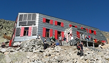


Mountain hut M. R. Štefánika


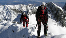
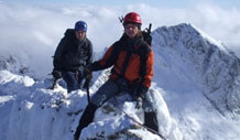
"Štefánička" (1740 m) is classic hut with gerat conditions for crossing ridge.
Accommodation information
- Accommodation type: Mountain hut
- Zone: Low Tatras
- Village place:
- Food: breakfast
- Min. price: 21.00 €
- Capacity: 48


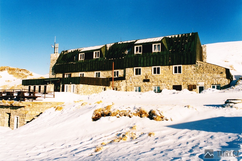
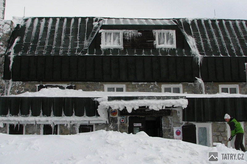
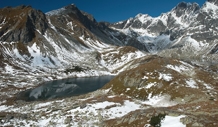
The hut M. R. Štefánika (1740 m), known as Štefánička or Mrška, si built on the main trails in Low Tatras. Close by Ďumbier and Chopok.
Travelers also appreciate the opportunity to visit the deepest cave in Slovakia - Jaskyňa mŕtvych netopierov.
Position and range
- from Trangoška green trail (1:40)
- from Čertovice red trail (3:30)
- from Mýto pod Ďumbierom yellow trail (3:55)
- from Jánská valley blue trail (2:45)
- main ridge
Languages


Contact
Mountain hut M. R. Štefánika
Igor Fabricius
977 01 Brezno
Slovensko
Website: http://www.chatamrs.sk
e-mail: fabricius.chatamrs@gmail.com
mobil: +421 944 935 467
mobil: +421 904 978 439
GPS coordinates: (48°55'35.9549"N, 19°38'58.8244"E)